Ifield Parish Map

The purpose of the Ifield Parish Map Project is to identify and document the heritage, history, landscape and wildlife of the parish, contribute to the protection of the parish in the face of increasing urbanisation and to raise awareness of what the parish has to offer and encourage people to explore it for themselves.
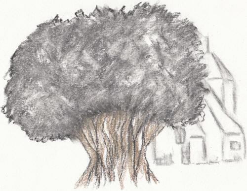
The name Ifield (Ifelt, Yfeld) dates from the very early Saxon period when the word field simply meant a clearing or settlement so Ifield means the clearing or settlement in the yew trees. The use of field in a place name tells us that it is an ancient settlement which probably already existed when the Saxons arrived in the mid 5th century as later Saxon language used 'ley' to convey the same meaning; see Crawley. Armed with this knowledge, along with the Roman era and prehistoric finds in the area immediately to the west of the church, means we are able to say with some confidence that Ifield as a cultivated settlement dates back at least to Roman times and possibly as early as the late Bronze Age.
In 1086, the Domesday book assessed Ifield as consisting of 5 villagers & 4 smallholders (this would only relate to land/lease holders and doesn't include labourers or other workers). We had 1 men's plough team looking after 6 acres of meadow as well as woodland and the annual value of the Manor to the Lord, who was Alwy at the time of the Conquest and William son of Ranulf by the time of Domesday, was 1 pound, or six swine.
Today, Ifield is best known as being a modern neighbourhood on the western side of Crawley New Town. Home to around 10,000 people, the neighbourhood is bounded by Ifield Avenue, Crawley Avenue, the Arun Valley Railway and Ifield Brook, but this hasn't always been the case. Until 1956 Ifield was a large Civil & Ecclesiastical Parish encompassing the modern neighbourhoods of Ifield, Langley Green, West Green, Gossops Green and parts of Southgate, Broadfield & Bewbush as well as a large area of land which is now within the Civil Parish of Rusper. The Parish boundary was at County Oak in the north, Crawley High Street in the east, Target Hill in the south and almost to Lambs Green in the east - an area of over 4,000 acres (6.25 sq. miles). St Margaret's church is in the geographical centre of the parish and these boundaries broadly reflect the lands of the old Manor of Ifield, which was recorded in the Domesday book.
An 'Ancient Ifield' Exhibition was held at Crawley Museum between 5 June and 5 July 2025. The posters that were on display at this exhibition can be downloaded from here. The video that was shown, including a version with an alternative soundtrack, along with the trailer used to promote it can be viewed here.
The Ifield Parish Map Project are: Iain Dickson, Sally-Claire Fadelle, David Moon, Ian Mulcahy, Richard Symonds, Wendy Townend